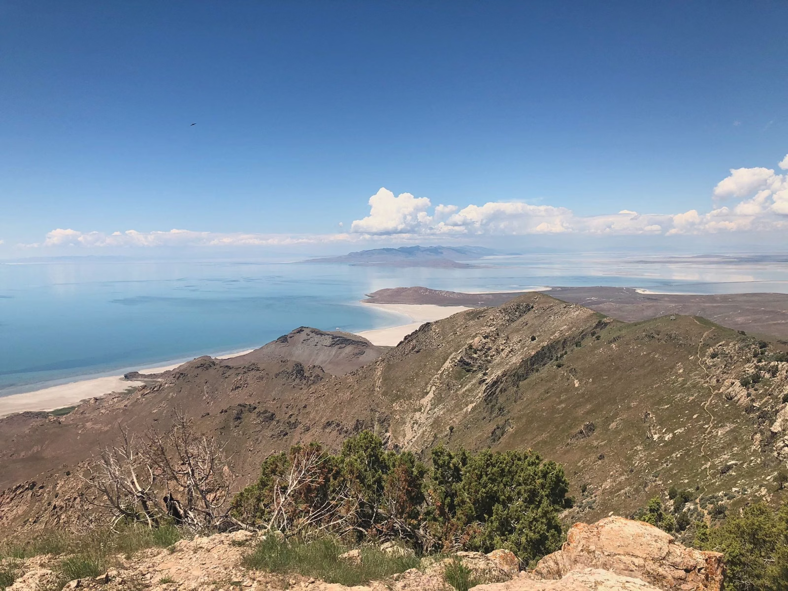
Antelope Island Trail Map
The official Antelope Island trail map is a free PDF from Utah State Parks, linked as "Antelope Island Overview and Trails Map" on the park's Trail Descriptions page. It shows the island's 15-mile length, the roads, and every trail with its distance, from the 0.25-mile Ladyfinger Point walk to the 11.4-mile Mountain View Trail. The main trailheads are at Ladyfinger Point, Bridger Bay, the Backcountry Trailhead by White Rock Bay, the Frary Peak trailhead on the east side road, and the Fielding Garr Ranch.
Map Essentials
How the Island Is Laid Out
Think of the island as a long north-south ridge with roads on its north end and east side:
- North tip: the Davis County Causeway arrives here, near the marina. The Visitor Center, Park Office and bison corrals are just south of where the causeway lands.
- Northwest shore, north to south: Ladyfinger Campground and Ladyfinger Point, the Bridger Bay day-use beach with restrooms and showers, the Island Buffalo Grill, Bridger Bay Campground, then White Rock Bay Campground.
- East side road: runs south along the eastern shore past the archery range, the Frary Peak trailhead (with restrooms), the Frary Homestead site, and on to the Fielding Garr Ranch.
- South end: only the South Island Trail. There are no facilities.
- West side: no roads. Split Rock Bay and the Buffalo Scaffold / West Side Trail are reached only on foot, bike or horseback.
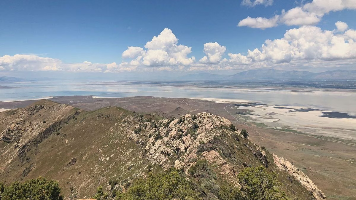
Trails by Area
Grouped by where they sit on the 2026 map:
- North tip and Bridger Bay: Ladyfinger Point Trail (0.25 miles one-way), Buffalo Point Trail (0.4 miles one-way) and the Lakeside Loop (5-mile loop).
- White Rock Bay and the Backcountry Trailhead: White Rock Loop (7-mile loop) and Bone Road Trail (2.7-mile loop), with the Junction Trail (1.8 miles) leading on to Elephant Head Spur (1.4 miles one-way) and Split Rock Loop (5 miles round trip) and the Split Rock Bay backcountry campsites.
- Central ridge, north end: Gravel Pit Trail (1.8 miles one-way, by the archery range) and Beacon Knob Spur (0.4 miles one-way).
- East side road: the Mountain View Trail (11.4 miles one-way, from the north end to the ranch), the Frary Peak Trail (3.5 miles one-way), the Dooly Knob Trail (1.5 miles one-way) and the Frary Gravesite Interpretive Trail (0.4 miles one-way).
- Fielding Garr Ranch and the south: Sentry Loop (5.6-mile loop), South Island Trail (4 miles) and the south end of the Buffalo Scaffold / West Side Trail (5.4 miles one-way, closed March 10 to May 20).
Full descriptions and difficulty ratings are on the Hiking page.
Getting a Copy
- Online: the PDF on the Utah State Parks Trail Descriptions page. It also works as a high-contrast map; the park's interactive map has a "Grayscale Enhanced Contrast Map" option.
- In person: the Visitor Center (Visitor Center).
- Before you go: download the PDF to your phone. Drinking water is available at the Visitor Center and the Bridger Bay beach facilities, never on the trails.
Map Rules That Matter
Only trails shown on the park map are open. Cross-country travel is not permitted, to protect wildlife habitat. Egg Island and White Rock Island, offshore, are closed to all access year-round to protect nesting birds.
Antelope Island Trail Map FAQ
Where can I get an Antelope Island trail map?
Download the free "Antelope Island Overview and Trails Map" PDF from the Utah State Parks Trail Descriptions page, or pick one up at the Visitor Center.
Where is the Frary Peak trailhead?
On the east side road south of the Visitor Center, with restrooms. The trail climbs 3.5 miles one-way to Frary Peak.
How long is Antelope Island?
About 15 miles long and 4.5 miles across at its widest point, according to Utah State Parks.
Is there a road around Antelope Island?
No. Roads cover the north end, the northwest shore to White Rock Bay, and the east side down to the Fielding Garr Ranch. The west side and the south end are trail-only.