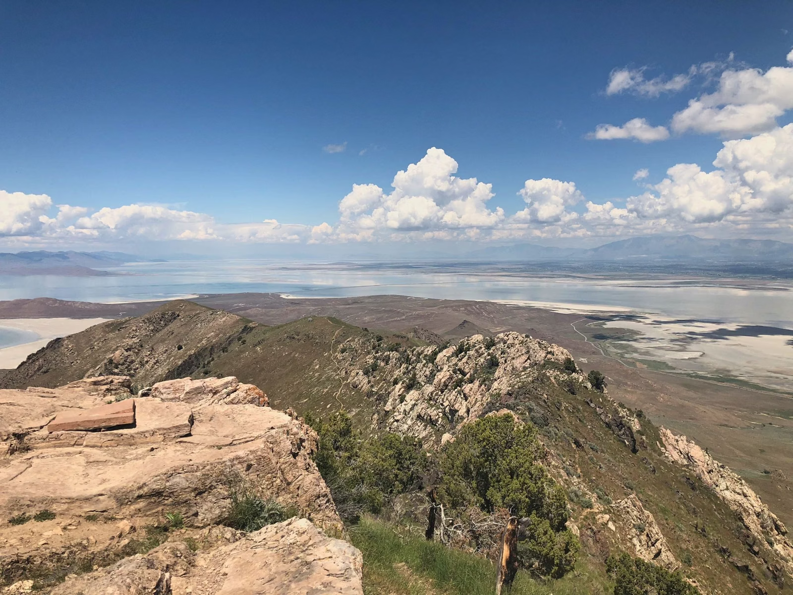
Frary Peak Trail
The Frary Peak Trail is the hike to the top of Antelope Island: 3.5 miles one-way, about 7 miles round trip, to Frary Peak, which at 6,596 feet is the island's highest point. Utah State Parks rates it strenuous. It is open to hikers only (no bikes or horses), leashed dogs are allowed, and there is no water anywhere on the trail. The trailhead, with restrooms, is on the island's east side road.
Frary Peak at a Glance
The Route
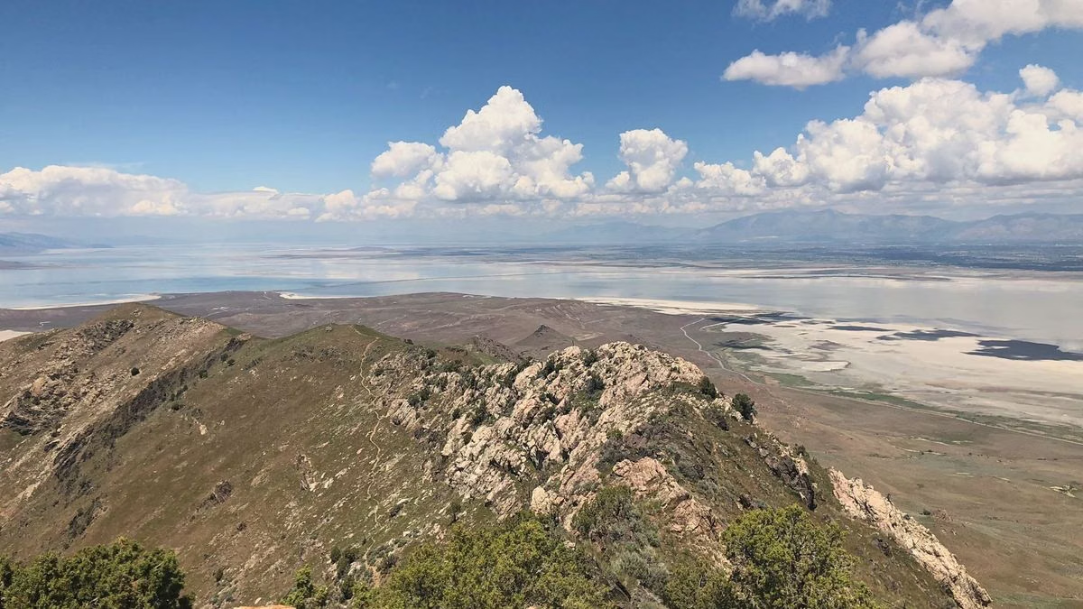
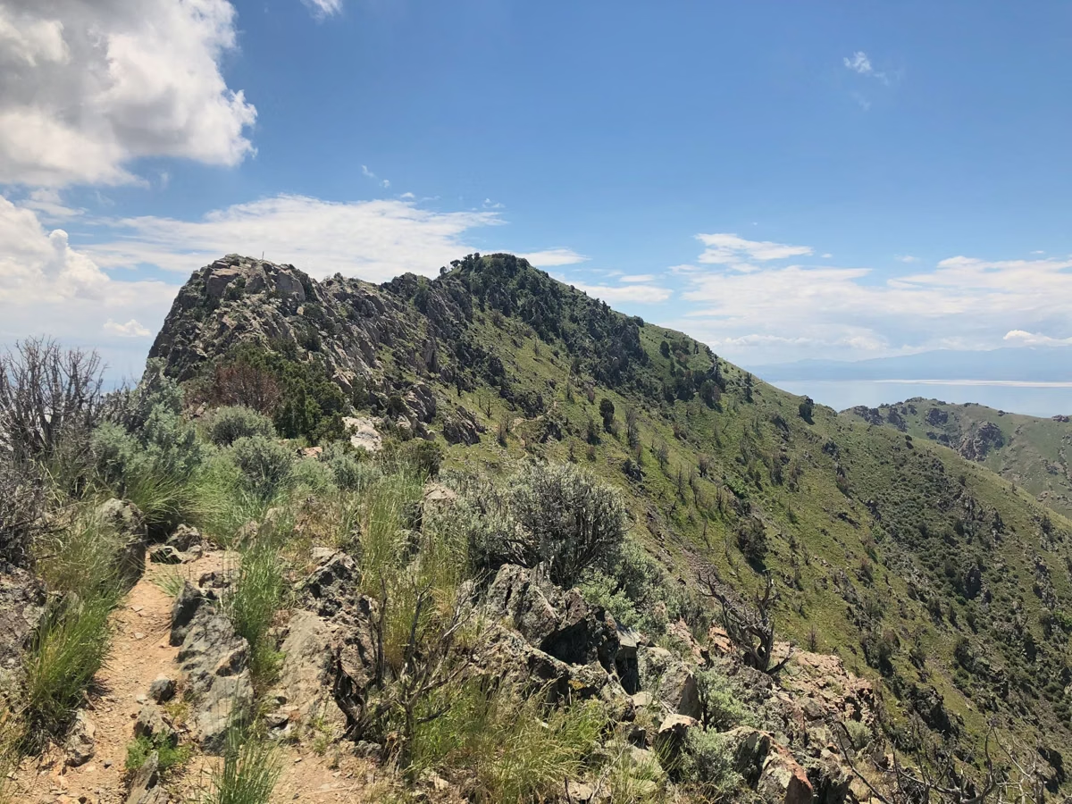
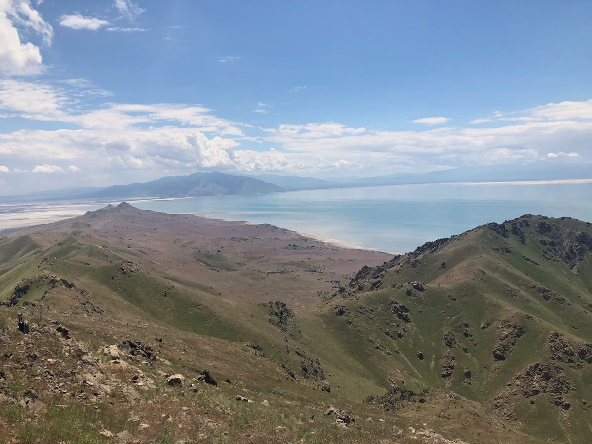
On the Utah State Parks trail map, the Frary Peak Trail leaves the east side road and climbs west into the island's central ridge, passing near Dooly Knob before running south along the crest past Stringham Peak to Frary Peak. The map gives 3.5 miles each way. The island is 15 miles long and 4.5 miles wide at its widest, so from the top you look down on Great Salt Lake on both sides.
The brochure is clear that there is no water along any trail. Carry all the water you'll need for a 7-mile climb and descent.
Rules for This Trail
- Hiking only. Frary Peak and the Dooly Knob Trail are the two trails closed to mountain bikes, and horses are not allowed on either.
- Stay on the trail. Cross-country travel is not permitted anywhere in the backcountry.
- Dogs on a leash no longer than six feet, at all times. Bring water for the dog too.
- Give wildlife room. Bison and bighorn sheep share the island; approaching, feeding or disturbing them is prohibited (Bison).
When to Go
Search interest in Frary Peak peaks in February and March, and the trail is open year-round like the rest of the park (6 a.m. to 10 p.m.). Spring brings biting gnats from April to June, when Utah State Parks recommends a fine-mesh head net because bug spray doesn't stop them. Plan to start early and finish well before the gate closes.
What You Might See
Utah State Parks says golden eagles are most often seen at the island's high elevations, Frary Peak included, and rock wrens nest wherever there are rocks, Frary Peak among their favorite spots. The peak shares its name with George Frary, who homesteaded on the island's east side in 1891; Alice Frary, who died in 1897, is buried near the homestead, on the short Frary Gravesite Interpretive Trail off the east side road.
Shorter Alternatives
- Dooly Knob Trail: 1.5 miles one-way, moderate, hiking only.
- Beacon Knob Spur: 0.4 miles one-way, moderate.
- Buffalo Point Trail: 0.4 miles one-way, a short climb with lake views near Bridger Bay.
Frary Peak Trail FAQ
How long is the Frary Peak hike?
3.5 miles one-way, about 7 miles round trip, according to the Utah State Parks trail map. It is rated strenuous.
How high is Frary Peak?
6,596 feet above sea level, the highest point on Antelope Island.
Can you bike or ride a horse to Frary Peak?
No. Frary Peak and Dooly Knob are hiking-only trails; bikes and horses are not allowed.
Are dogs allowed on the Frary Peak Trail?
Yes, on a leash no longer than six feet. There is no water on the trail, so carry enough for your dog.
Is there water on the Frary Peak Trail?
No. Utah State Parks says no water is available along any island trail. Fill up at the Visitor Center or Bridger Bay Beach first.